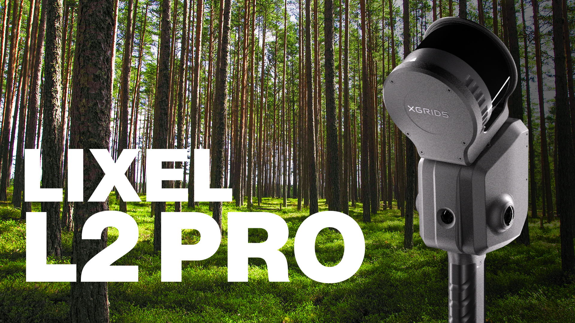
Lixel L2 Pro
Long range. Survey grade. Any platform.
A survey-grade SLAM scanner with dual-return LiDAR that reaches 300 m, 1 cm relative accuracy and two 48 MP cameras. Carry it by hand, or mount it on a drone or a vehicle to cover larger sites.
1 cmRelative accuracy
300 mMaximum range (32/300)
640,000Points per second
2 × 48 MPPanoramic cameras
Survey-grade scanning that is not limited to walking.
The Lixel L2 Pro is the long-range scanner in the XGRIDS range. LiDAR, two panoramic cameras, a visual positioning camera and an IMU work together with real-time RTK fusion, so the point cloud is colored and positioned while you capture.
The same unit works handheld, on a DJI drone or on a vehicle, which makes it a practical choice for terrain, roads and large facilities as well as buildings.
1.7 kgWeight without battery
1.5 hoursContinuous operation
1 TBInternal SSD
IP54Dust and splash protection
Unboxing and a closer look
See the Lixel L2 Pro out of the box, from its design and mounting options to the accessories that come with it.
What you get from a single scan
One capture gives you a measurable point cloud, high-resolution panoramic images and a photorealistic scene.
Real-time color point cloud
Color is applied to the points as you scan, using the camera images and the LixelUpSample algorithm. You can see the colored cloud on your phone before you leave the site.
LAS
Panoramic imagery
Two 48 MP cameras record wide panoramic images, up to 56 MP, that you can use as site documentation or as a visual reference for the point cloud.
JPG
3D Gaussian splatting
A photorealistic scene built from the camera images with Lixel CyberColor, for presentations, reviews and sharing with people who do not read point clouds.
LCC
1 cm relative accuracy, over a long range
Multi-SLAM joint optimization, visual positioning and real-time RTK fusion keep the result consistent across large areas, with absolute coordinates when RTK is available.
1cm
Relative accuracy (RMSE), processed. Point cloud thickness is 0.5 cm.
| Relative accuracy (RMSE) | 1 cm |
|---|---|
| Absolute accuracy, horizontal and vertical (RMSE) | 3 cm |
| Repeatability | 2 cm |
| Point cloud thickness | 0.5 cm |
| Horizontality with RTK | 0.015° |
| Verticality | 0.03° |
Figures are published by the manufacturer for processed data. Absolute figures assume RTK fusion with good satellite conditions. Results on site depend on the environment, the scan path and the workflow.
What is inside
Four systems work together, which is why range, color and position line up in the same scan.
Dual-return LiDAR
A rotational, eye-safe Class 1 laser with a 360° × 270° field of view. In dual-return mode the 32/300 version reaches 300 m, useful for tall facades, open terrain and long corridors.
- Range0.5 to 120 m, or 300 m dual return
- LaserClass 1, 905 nm
- Point rate320,000 or 640,000 pts/s
Vision system
Two 48 MP panoramic cameras with 190° × 190° coverage color the point cloud and feed the splatting model. A separate 1 MP camera handles visual positioning.
- Panoramic cameras2 × 48 MP, up to 56 MP
- Sensor and lens1/2-inch, F/2.0
- Visual positioning1 × 1 MP, 190° × 119°
RTK fusion and positioning
An RTK module attaches to the scanner and fuses in real time with the SLAM trajectory, so survey deliverables carry absolute coordinates. A high-precision 6-axis IMU keeps motion tracking steady.
- Absolute accuracy3 cm RMSE
- Horizontality with RTK0.015°
- ConstellationsGPS, GLONASS, BDS, Galileo
Handheld, drone and vehicle
The L2 Pro is built to move between platforms. Walk it through a building, fly it on a DJI Matrice, or drive it along a road, and process the data in the same workflow.
- DroneDJI M300, M350, M400
- Weight1.7 kg
- Size180 × 130 × 400 mm
See the result while you scan
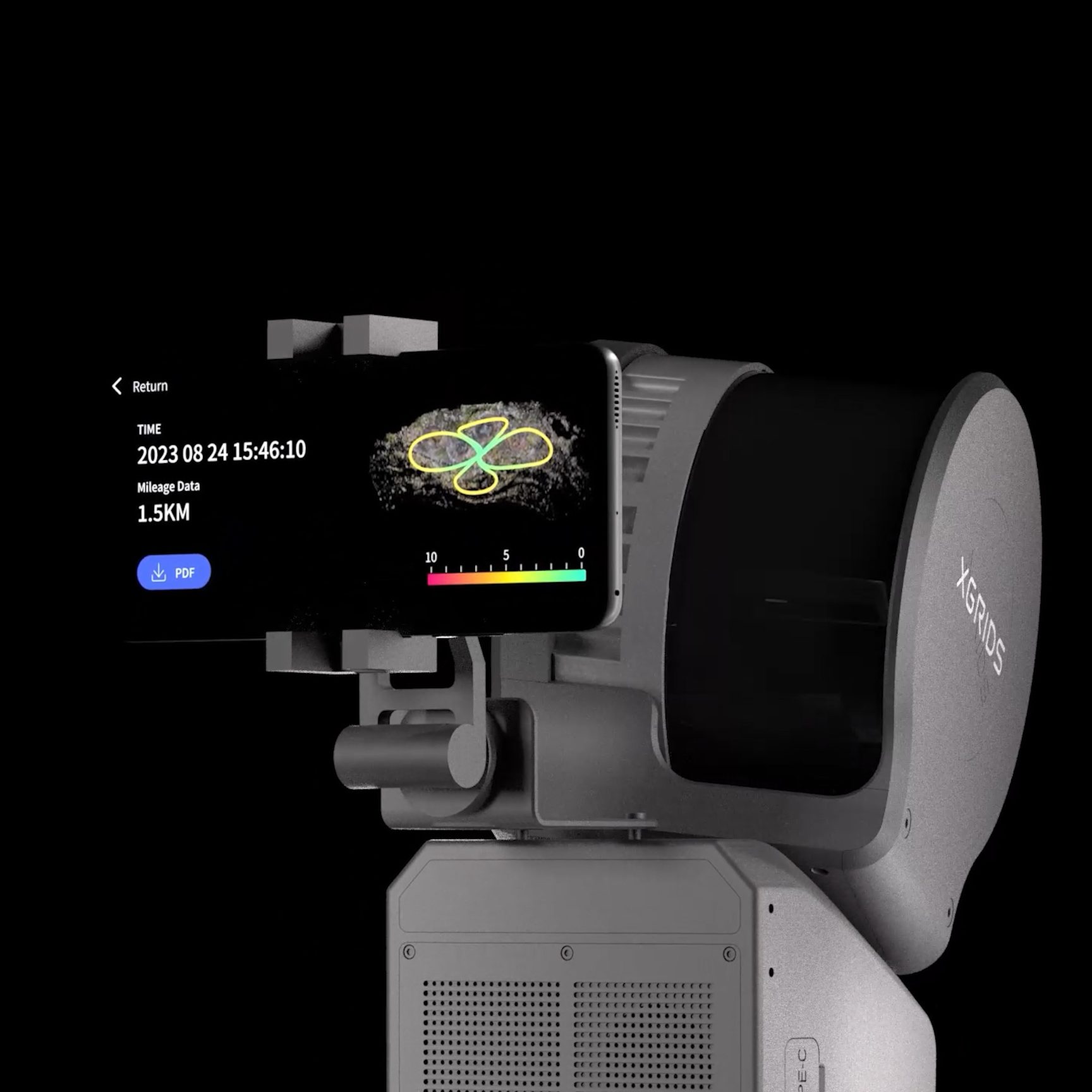
Clamp a phone to the scanner with the mobile phone mount and run the Lixel Go app from one screen. It shows what is being captured, so gaps are found when you can still fix them.
- One-screen controlStart, pause and finish a scan from your phone with a single interface.
- Real-time color point cloudWatch a colored cloud with absolute coordinates build up as you walk.
- Live camera viewCheck the camera images and elevation information during capture.
- Capture statusBattery, network, memory and range are visible at a glance.
- RTK settings in the appSet up RTK without leaving the scanning screen.
- Breakpoint rescanGo back and rescan a missed area without starting over.
- Multi-SLAM optimizationCombines LiDAR, vision and inertial data for a stable trajectory.
- Visual positioningA dedicated camera supports tracking where geometry alone is limited.
From the first step to the finished model
There is no tripod, no station setup and no target placement. Choose the platform that fits the site and capture in one pass.
- ScanWalk, fly or drive while the L2 Pro records LiDAR, images, motion and satellite data.
- ReviewCheck coverage, camera images and the live colored cloud in the Lixel Go app.
- ProcessProcess the data and generate the outputs you need in XGRIDS desktop software.
- ExportDeliver point clouds, images and splatting scenes to your team or client.
Three LiDAR versions
The L2 Pro comes in three configurations. Pick the point rate and range your projects need. The cameras, accuracy specifications and workflow are the same on all three.
| Channels | Range | Point rate | |
|---|---|---|---|
| Lixel L2 Pro 16/120 | 16 | 120 m | 320,000 pts/s |
| Lixel L2 Pro 32/120 | 32 | 120 m | 640,000 pts/s |
| Lixel L2 Pro 32/300 | 32 | 300 m | 640,000 pts/s |
Compared with the Lixel L3
| Lixel L2 Pro | Lixel L3 | |
|---|---|---|
| LiDAR range | 120 m, or 300 m on the 32/300 version | 120 m |
| Weight | 1.7 kg without battery | 2.5 kg with battery |
| Drone and vehicle mounting | Yes | Handheld |
| Relative accuracy | 1 cm | 5 mm |
| Absolute accuracy | 3 cm | 2 cm |
| Point cloud thickness | 5 mm | 5 mm |
| Levelness with RTK fusion | 0.015° | 0.005° |
| Cameras | 2 × 48 MP | 3 × 50 MP |
| Sensor size | 1/2-inch | 1/1.3-inch |
| HDR | Not supported | 4K HDR |
| Built-in display | Not included, use the Lixel Go app | 4.3-inch |
| Continuous operation | 1.5 hours | 100 minutes |
Based on specifications published by XGRIDS. The L3 is the higher-accuracy and higher-fidelity option; the L2 Pro is the longer-range, lighter and more flexible one.
Where it is used
Topographic and land surveying
Long-range, georeferenced capture of terrain, sites and streets with RTK fusion.
Aerial scanning
Mount the scanner on a DJI M300, M350 or M400 to cover areas that are slow or unsafe to walk.
Roads and corridors
Vehicle-mounted capture for roads, rail corridors and utilities.
Construction and as-built
Fast records of buildings and sites for progress checks and scan-to-BIM.
Digital twins
Accurate geometry with real-time color for facilities, plants and infrastructure.
Visualization and media
Photorealistic splatting scenes for presentations, heritage records and virtual production.
Technical specifications
LiDAR
| Laser class | Class 1, 905 nm (eye-safe) |
|---|---|
| Versions | 16/120, 32/120 and 32/300 |
| Point rate | 320,000 or 640,000 pts/s |
| Range | 0.5 to 120 m, or 0.5 to 300 m in dual-return mode |
| Field of view | 360° × 270° |
Accuracy
| Relative accuracy (RMSE) | 1 cm, processed |
|---|---|
| Absolute accuracy (RMSE) | 3 cm horizontal, 3 cm vertical |
| Repeatability | 2 cm |
| Point cloud thickness | 0.5 cm |
| Horizontality with RTK | 0.015° |
| Verticality | 0.03° |
Imaging
| Panoramic cameras | 2 × 48 MP (up to 56 MP) |
|---|---|
| Sensor and aperture | 1/2-inch, F/2.0 |
| Field of view | 190° × 190° |
| Visual positioning camera | 1 × 1 MP, 190° × 119° |
Positioning
| Functions | Visual positioning, real-time RTK fusion, real-time RGB |
|---|---|
| RTK module | Attached to the scanner with an RTK bracket |
| Constellations | GPS, GLONASS, BDS, Galileo |
| IMU | High-precision 6-axis |
| SLAM | Multi-SLAM joint optimization |
Hardware and power
| Dimensions | 180 × 130 × 400 mm |
|---|---|
| Weight | 1.7 kg without battery |
| Internal storage | 1 TB SSD |
| Data interface | USB 3.1 Gen2 |
| Power consumption | Under 30 W |
| Operating time | 1.5 hours continuous |
| Operating temperature | -20 °C to 50 °C |
| Ingress protection | IP54 |
| Control | Lixel Go app on a phone, with a mobile phone mount |
Platforms
| Handheld | Supported |
|---|---|
| Drone | DJI M300, M350, M400 |
| Vehicle | Supported |
Output formats
| Point cloud | .las |
|---|---|
| Imagery | .jpg |
| 3D Gaussian splatting | .lcc (Lixel CyberColor) |
Frequently asked questions
How accurate is the Lixel L2 Pro?
The manufacturer specifies 1 cm relative accuracy and 3 cm absolute accuracy (RMSE) for processed data, with 0.5 cm point cloud thickness. On a real site the result depends on the environment, the scan path and the processing workflow.
What is the difference between the 16/120, 32/120 and 32/300 versions?
Only the LiDAR head. The 16/120 has 16 channels, 120 m range and 320,000 points per second. The 32/120 has 32 channels, 120 m range and 640,000 points per second. The 32/300 keeps the 640,000 points per second and reaches 300 m in dual-return mode.
Can I mount the L2 Pro on a drone or a vehicle?
Yes. Besides handheld use, the L2 Pro has drone-mounted solutions for DJI M300, M350 and M400, and a vehicle-mounted solution for roads and large areas.
Does it support RTK?
Yes. An RTK module attaches to the scanner and supports real-time RTK fusion for absolute coordinates, tracking GPS, GLONASS, BDS and Galileo. Ask us which RTK configuration comes with your package.
Do I need a phone or tablet to run a scan?
Yes. The L2 Pro does not have a built-in screen. You mount a phone on the scanner and control it from the Lixel Go app, which shows the live colored point cloud, camera images and capture status.
Which file formats can I export?
Point clouds as LAS and images as JPG, plus 3D Gaussian splatting scenes through Lixel CyberColor. Ask us about the other formats available in the desktop software.
How long does the battery last, and can I use it in the rain?
About 1.5 hours of continuous operation per battery, and the Premium package includes a second battery. Operating temperature is -20 °C to 50 °C. The scanner is rated IP54 against dust and splashes, but it is not meant for use in rain.